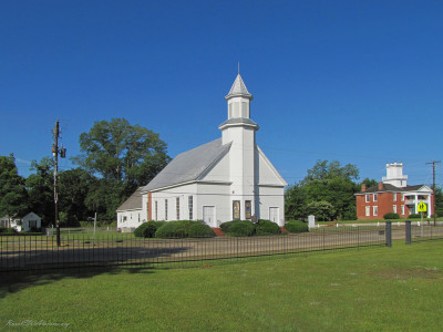
Located in front of this church is a historical marker. Following are the details provided on this marker: “This building was constructed c. 1849 as a …
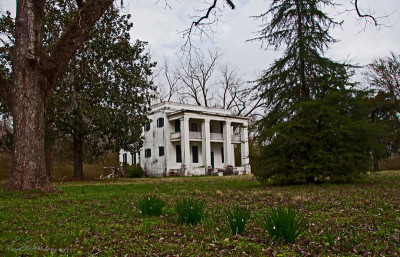
This is a 2-story brick slave quarters that was built by Stephen Barker in 1860 behind his large brick mansion. The building originally had no columns …
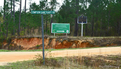
This marker is located in south Clarke County approximately 11 miles south of Jackson, AL on Co. Rd. 15 (Rockville Rd.) at the entrance to the Fred T. …
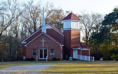
This church is located on Marengo Co. Rd. 38 approximately 0.4 miles from the junction with Co. Rd. 63 and approximately 8 miles northeast of Thomasto …
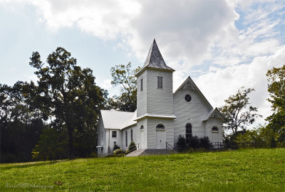
The Boligee Presbyterian Church was established October 31, 1900. Positioned on the crest of a small hill, this beautiful church features a corner tow …
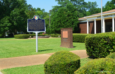
This historical marker is located beside Commerce Street in front of the James E. Arrington City Hall Complex near downtown Jackson (GPS coordinates 3 …
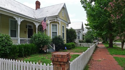
Once a gracious turn-of-the-century neighborhood, many of the homes here were close to condemnation when purchased by Circle “S” Industries, Inc. in 1 …
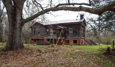
The Fambro-Arthur house gets its name from two of its owners. One was a judge, and the other was a former slave. Judge W. W. Fambro built this house i …
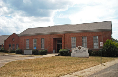
In 1891, nine agricultural schools, one in each congressional district, were authorized by the Alabama Legislature. One of the schools was located at …
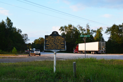
This marker is located about 2 miles west of Perdue Hill in Monroe County on the south side of U.S. Highway 84 near the intersection of Lena Landegger …
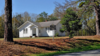
Furman, AL is a small community located is eastern Wilcox County. On May 13, 1999, the “Furman Historic District” was placed on the National Register …
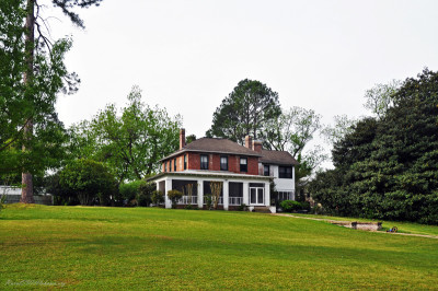
There may be no home in the Black Belt with more history attached to it than this one. It was built in 1828 – 1829 by John Gayle, a South Carolina nat …
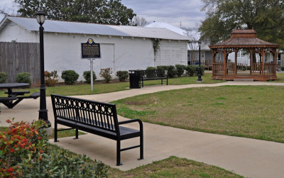
This historical marker is inside the Laurie Carleton Park that’s located at downtown Grove Hill in front of the Clarke County Courthouse (GPS coordina …
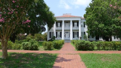
This Greek revival mansion was built c. 1855 for William B. King and named “Fairoaks” for the many trees found about the place. King was the nephew of …
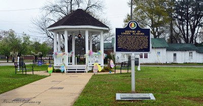
This historical marker in a small park at downtown Linden. The marker was erected by the Alabama Tourism Department and the City of Linden in 2010. Be …
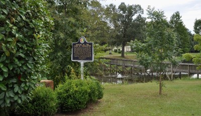
This historical marker is located beside Highway 28 at Thomaston’s Town Pond. It was erected April 2010 by The Alabama Tourism Department and the town …
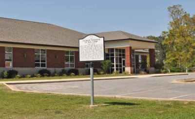
This historical marker is located on College Avenue at Jackson, AL in front of the Clarke-Mobile Gas District office (GPS coordinates 31.531688,-87.89 …
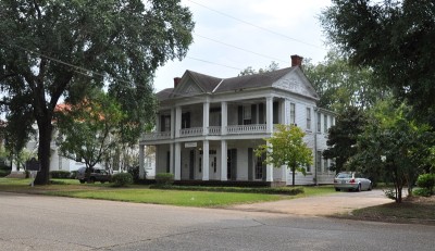
This was the home of John Tyler Morgan (1824-1907), one of Alabama’s most honored political and military leaders. Constructed in 1859 by Thomas R. Wet …
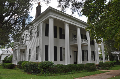
NOTE: This historic home was destroyed by fire on November 14, 2017. This Greek Revival house was built circa 1850 by Thomas Helm Lee, master builder …
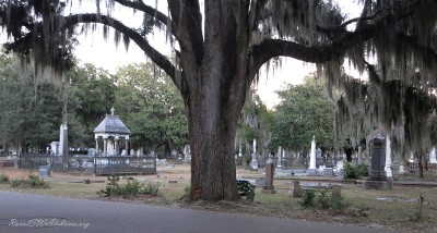
THERE IS GLORY IN THE GRAVES, reads the inscription on the Confederate Monument that stands in the center of Selma’s Live Oak Cemetery. Visitors who …
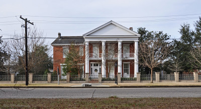
This Greek Revival style home was built around 1850 by Dr. Albert Gallatin Mabry, a prominent physician and member of the Alabama legislature. Dr. Mab …
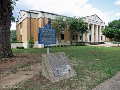
This historical marker is located in front of the Marengo County courthouse at downtown Linden (GPS coordinates 32.306410, -87.797716). The marker was …
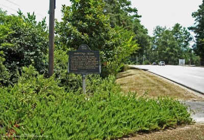
This historical marker is located beside highway 43 at McIntosh, AL in Washington County (GPS coordinates N31.265907,W88.031445). This marker provides …
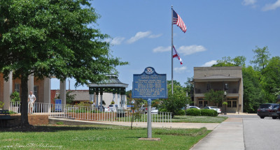
This historical marker is located at downtown Monroeville on the east side of the Courthouse Square (GPS coordinates 31.527497,-87.324094). Following …
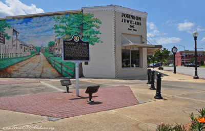
This marker is located at downtown Monroeville in the small park adjacent to Johnson’s Jewelers at the intersection of South Alabama Avenue and Claibo …
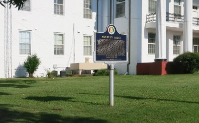
This historical marker located in front of the Perry County Courthouse in Marion. Following is the text on this historical marker: Side 1: MUCKLE”S RI …
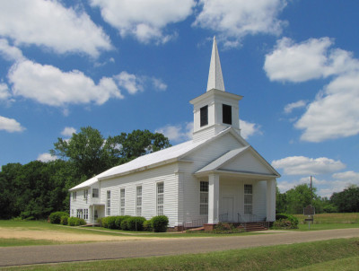
This church is located in Orrville, AL in Dallas County at the intersection of Mill Street South and Academy Street (GPS coordinates 32.30489,-87.2459 …
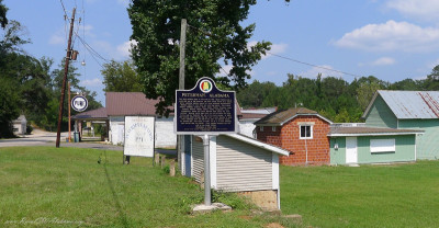
Peterman is a small community located about six miles northeast of Monroeville, AL. Shown is the “Peterman, Alabama” historical marker that provides d …

This historical marker is located on the north side of Broad Street, in the municipal park near the intersection of Broad and Dunn Streets, in Pine Hi …
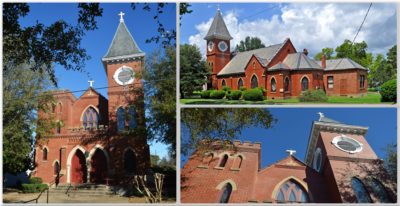
Catholicism was first introduced to this region in 1540 by the priests who accompanied Hernando DeSoto. The French Napoleonic exiles of the Vine and O …
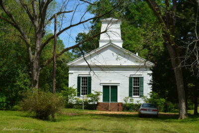
This Methodist congregation was organized circa 1837. The church absorbed the congregation from nearby Childers Chapel when it burned in 1842. The Met …
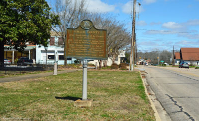
This historical marker is located beside Highway 11 at the Courthouse Square in Livingston (GPS coordinates 32.582701, -88.187940). The marker was ere …
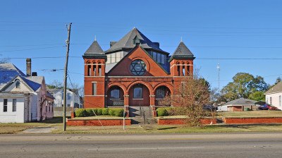
This Jewish temple was completed during December 1899 and dedicated in February 1900. It is a two-story, Romanesque Revival structure with two symmetr …
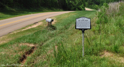
This historical marker is located beside Madison Road about three miles east of Gainestown in south Clarke County (GPS coordinates 31.445267, -87.6443 …
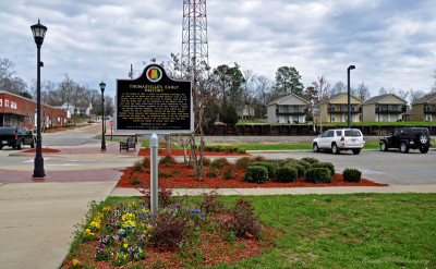
This historical marker is located on the south side of Wilson Street, between West Front Street and the railroad tracks, in downtown Thomasville (31.9 …
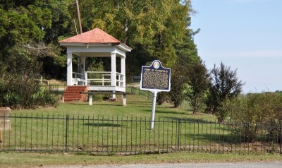
This historical marker is located in the Gainesville Park that’s on the north side of Gainesville near the river bridge (GPS coordinates 32.822814, -8 …
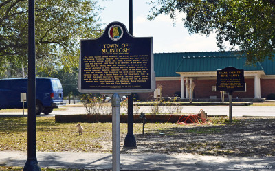
This historical maker provides details about the history of the town of McIntosh, Alabama. The marker was erected in 2010 by the Alabama Tourism Depar …
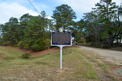
Oak Hill is a small community located in east Wilcox County. This historical marker provides details about the history of Oak Hill. The marker is loca …
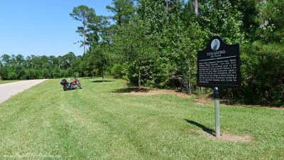
This marker is located in Choctaw County beside Co. Rd. 27 approximately 4 miles SE of Mt. Sterling just before getting to the Tuscahoma Landing on th …
- 1
- 2
